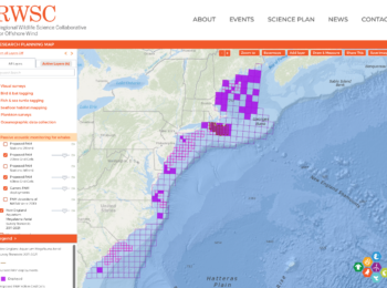
New Research Planning Map supports regional coordination of data collection and research activities
View the recording of the Introduction to the RWSC Research Planning Map Webinar, held on August 14, 2024. The RWSC has launched “version 1.0” of a Research Planning Map that displays the locations (points, transects, areas) where wildlife and environment data are being collected to support offshore wind research. This version of the map is incomplete and does not represent all the ongoing research and data collection activities with respect to offshore wind. Learn more about the plan to build and maintain this tool. RWSC develops and maintains several resources… [More]


