Virtual Event

As of October 1, 2026, the contents of the Research Planning Map have been migrated and integrated into the Northeast Ocean Data Portal and the Mid-Atlantic Ocean Data Portal.
As of this date, sharelinks and bookmarks from the Research Planning Map no longer function. Visit either https://www.northeastoceandata.org/research-planning or https://portal.midatlanticocean.org/data-catalog/Research-Planning to view current maps related to Research Planning.
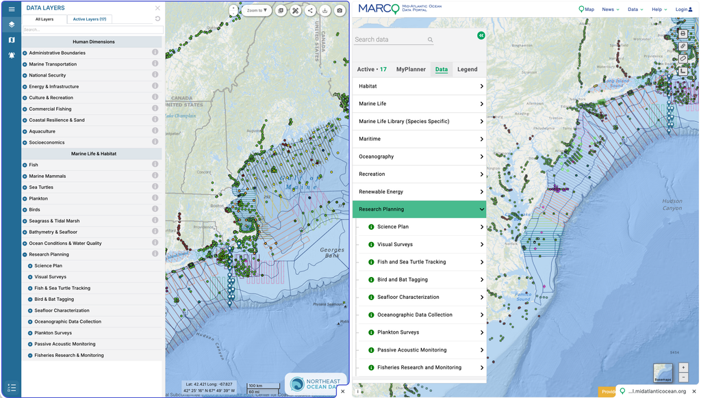
Research Planning data are the locations (points, transects, areas) where wildlife and environment data are being collected offshore in U.S. Atlantic waters. These individual datasets will continue to be maintained and updated by RWSC Subcommittees and partners.
Research Planning data are always changing and may not represent all the ongoing research and data collection activities.
We invite anyone conducting research or collecting environmental/wildlife data offshore to contribute to Research Planning data in the regional ocean data portals. We are only interested in the locations (points, transects, areas) where data collection is occurring. Use the templates below to submit certain kinds of data for aggregation and display on the map, or email us at [email protected].